Drone above solar, telecom, and construction infrastructure

Services / capture to intelligence

The flight is the launch of possibilities.

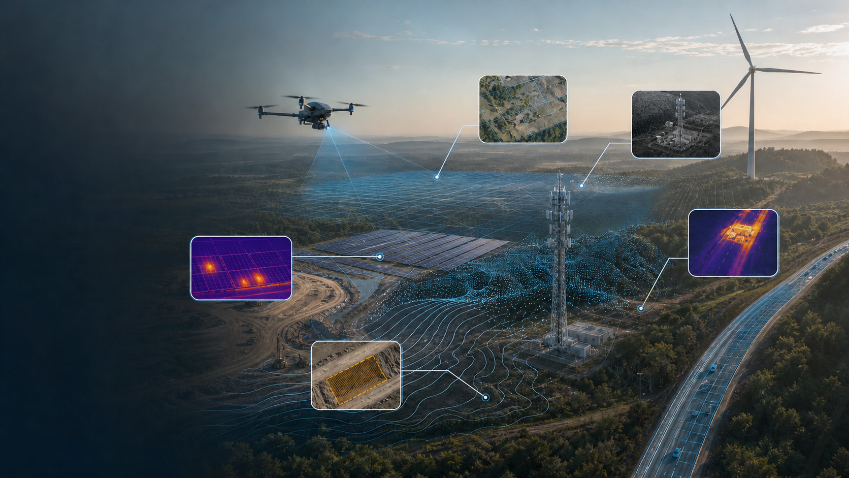
DroneWorksIQ plans confident captures, processes field insights, delivers analysis-ready reports, and provides asset chronicling.

Explore analysis services

One evidence chain

Acquisition serves the analysis.

  1. PlanDefine the decision, coverage, controls, and repeatability.
  2. CaptureCollect consistent visual, thermal, and positional evidence.
  3. ProcessBuild quality-controlled imagery, models, and datasets.
  4. AnalyzeMeasure conditions, patterns, change, and exceptions.
  5. ValidateCheck findings against project context and quality criteria.
  6. Deliver / ChronicleOrganize decisions now and preserve a useful record over time.

Seven analysis disciplines

Evidence shaped for the question at hand.

Each engagement selects the capture method, processing path, and review standard around the decision—not around a predetermined platform.

Aerial view of a surveyed development parcel and its terrain

01 / Geospatial

Survey & geospatial analysis

Repeatable aerial coverage becomes orthomosaics, elevation surfaces, contours, measurements, and site context. We design controls and checks around the intended use, then help teams interpret terrain, access, drainage, quantities, and change—not simply receive a map export.

  • Existing-condition documentation
  • Terrain, drainage, and volumetric analysis
  • CAD/GIS-ready evidence packages
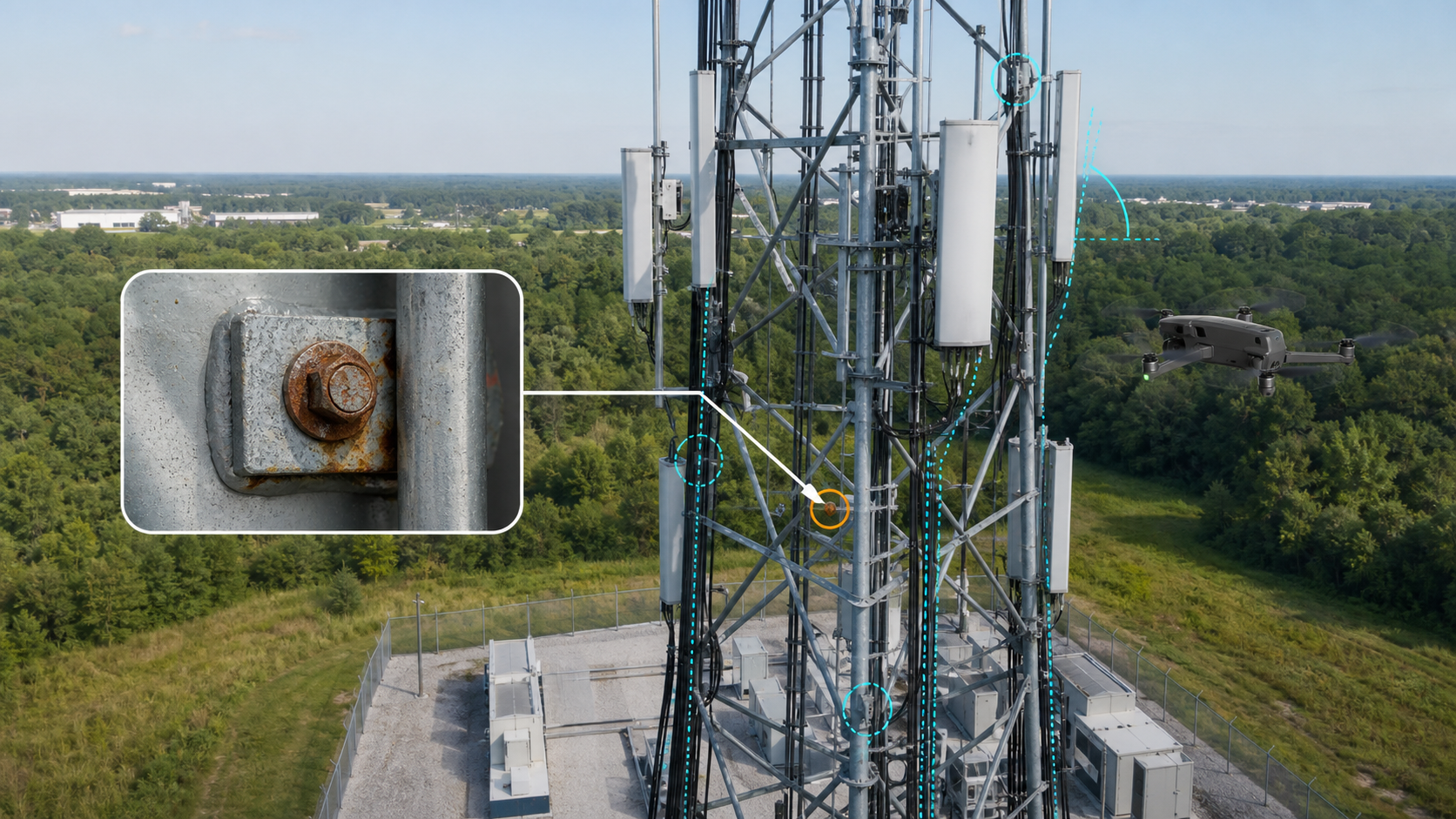
Drone inspecting antenna and mount details on a telecom tower

02 / Infrastructure

Telecom inspection intelligence

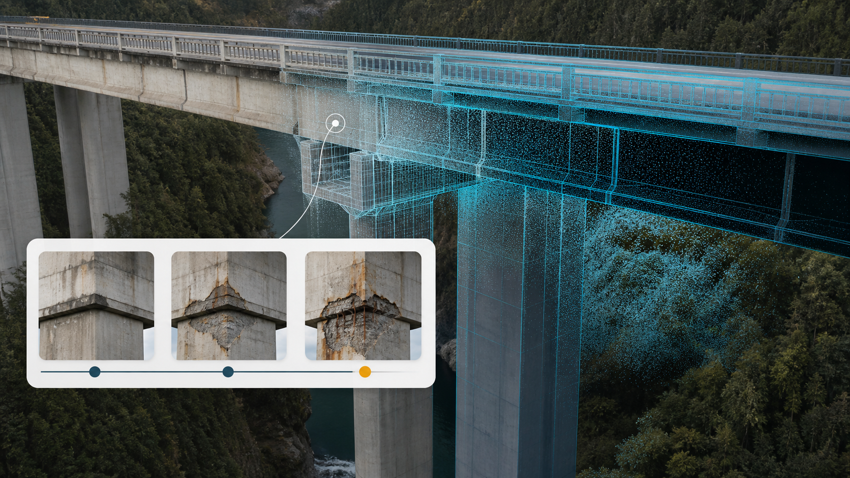
Structured visual capture documents antennas, mounts, cabling, connections, and observable tower conditions from repeatable perspectives. Evidence is indexed for desk review so teams can compare components, isolate exceptions, and plan targeted follow-up with less ambiguity.

  • Component-oriented image organization
  • Condition and exception review
  • Repeat-visit comparison
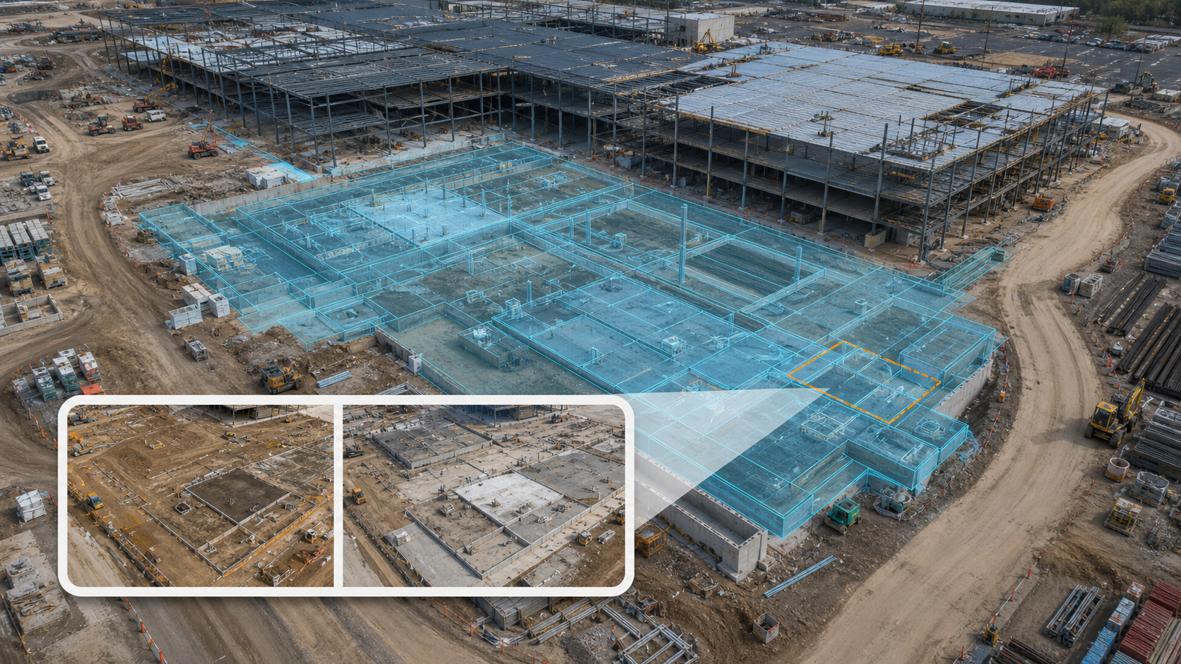
Aerial construction view showing foundations, earthwork, and completed structural bays

03 / Built environment

Construction progress & change analysis

Consistent capture positions and site-wide models establish a time-aware record of work in place. We organize comparisons around schedule areas, quantities, access, logistics, and visible change so project teams can verify progress and communicate from shared evidence.

  • Milestone and interval documentation
  • Time-over-time visual comparison
  • Earthwork and site logistics context
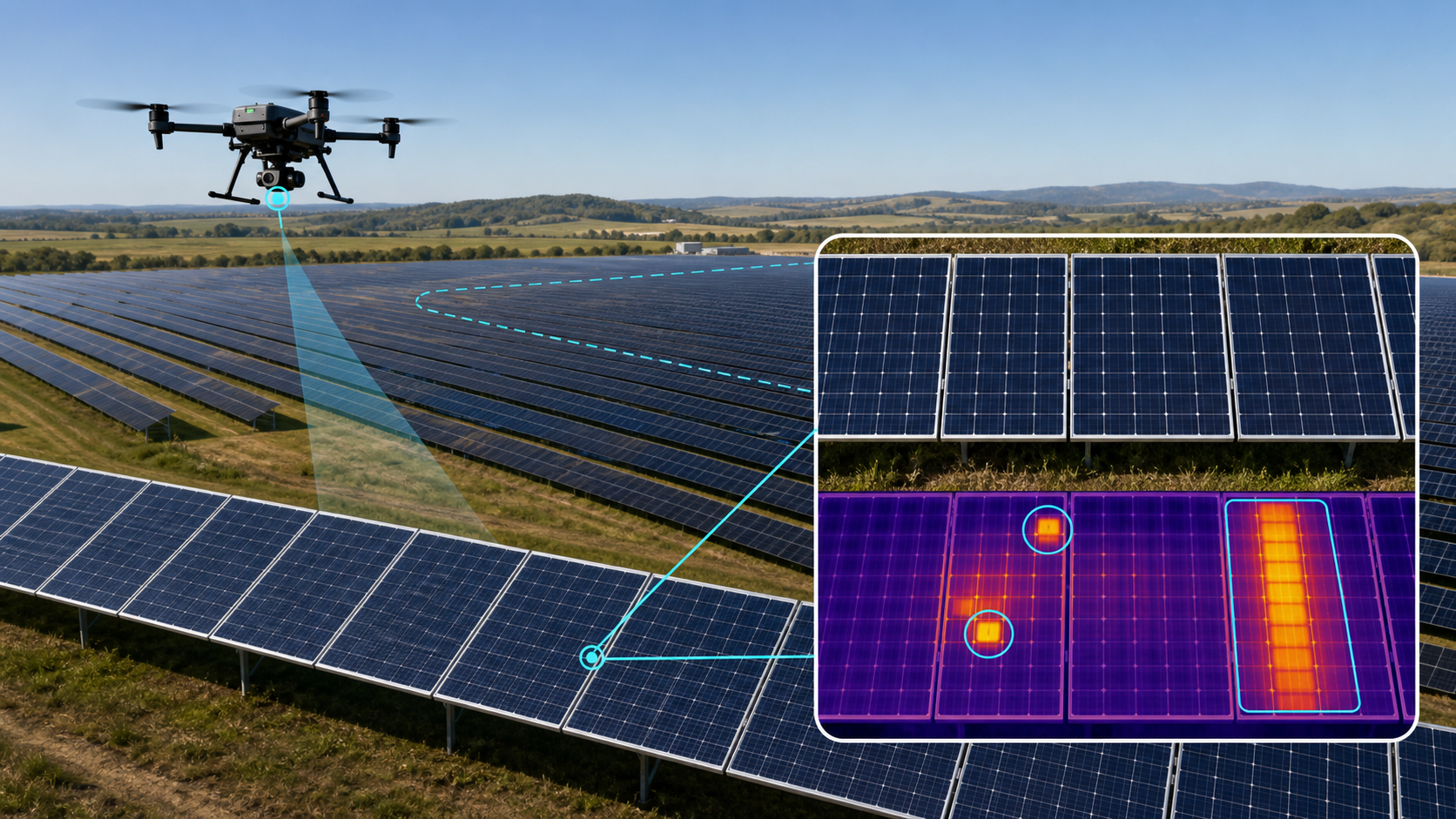
Solar array shown in visible light and radiometric thermal interpretation

04 / Energy

Solar visual & radiometric thermal inspection

Solar farm inspections pair high-resolution visual imagery with radiometric thermal data to screen modules, strings, and array sections for abnormal heat patterns, physical damage, soiling indicators, and performance concerns that warrant closer review. Using the Matrice 4T thermal and visible-light sensor suite, DroneWorksIQ can document geo-referenced findings across large arrays, compare patterns over time, and organize prioritized evidence for maintenance teams—turning a flight into a repeatable analysis record rather than a folder of images.

  • Visible and radiometric evidence pairing
  • Geo-referenced anomaly screening
  • Prioritized maintenance review packages
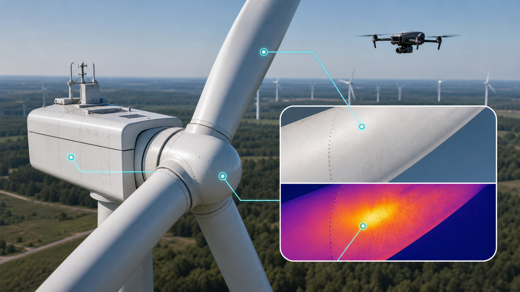
Drone screening a wind turbine nacelle with visual and thermal sensors

05 / Energy

Wind visual & thermal inspection

High-resolution visual and thermal capture supports structured review of blades, nacelles, towers, and accessible electrical or mechanical signatures. Findings are located, categorized, and retained so operators can distinguish observable conditions from items that require specialist confirmation.

  • Blade and exterior condition evidence
  • Thermal pattern screening
  • Asset-level chronology
Graded site after rain showing drainage paths, slopes, and sediment controls

06 / Land

Erosion & earthwork monitoring

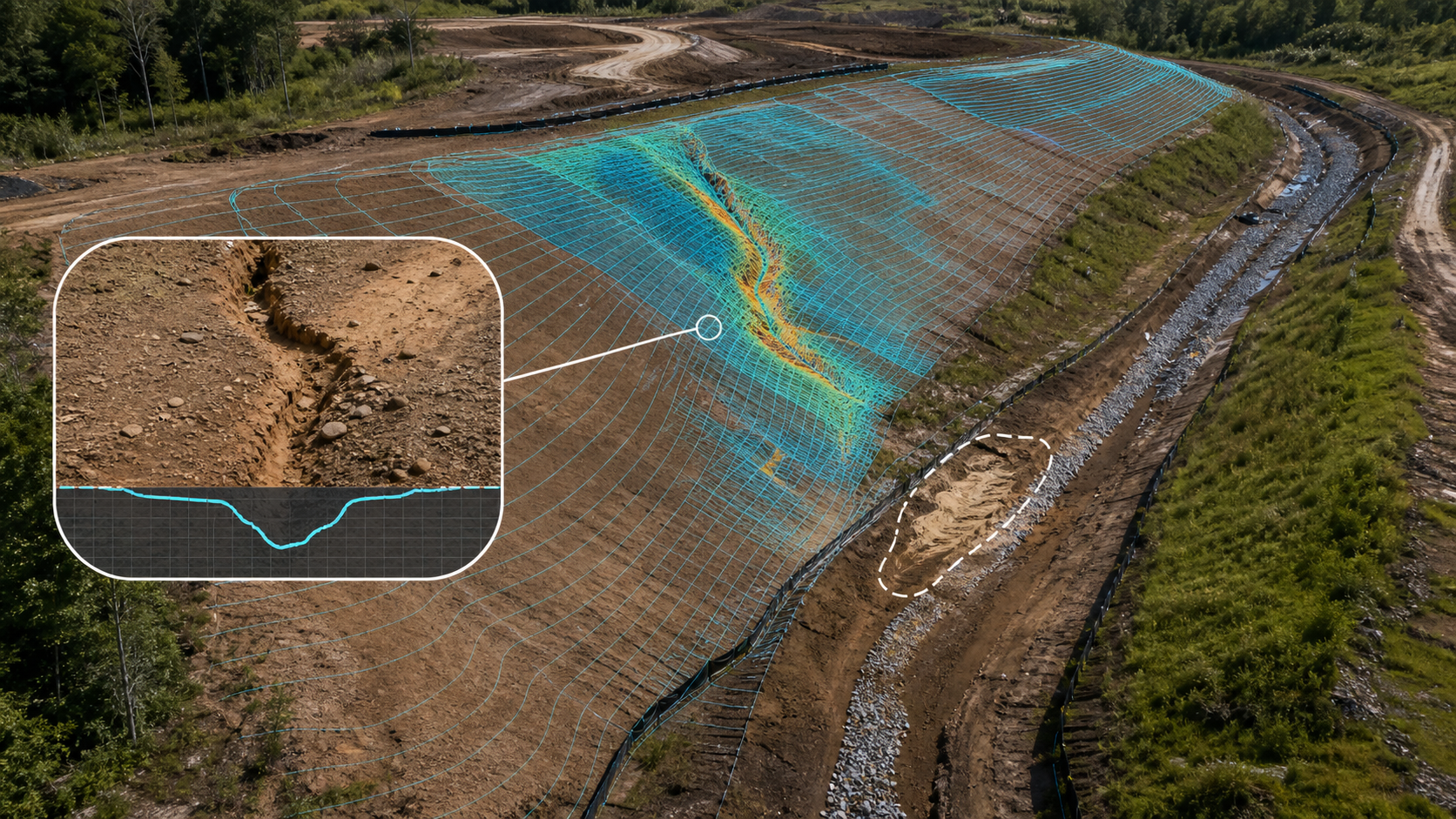
Site-wide imagery and surface models make drainage paths, slope conditions, sediment-control context, stockpiles, and cut-and-fill change easier to assess. Repeat visits establish whether conditions are stable, emerging, or moving beyond expected limits.

  • Post-weather condition records
  • Drainage and slope context
  • Surface and quantity comparisons
Industrial facility transitioning into a precise point-cloud record

07 / Asset record

Digital twin & asset chronology

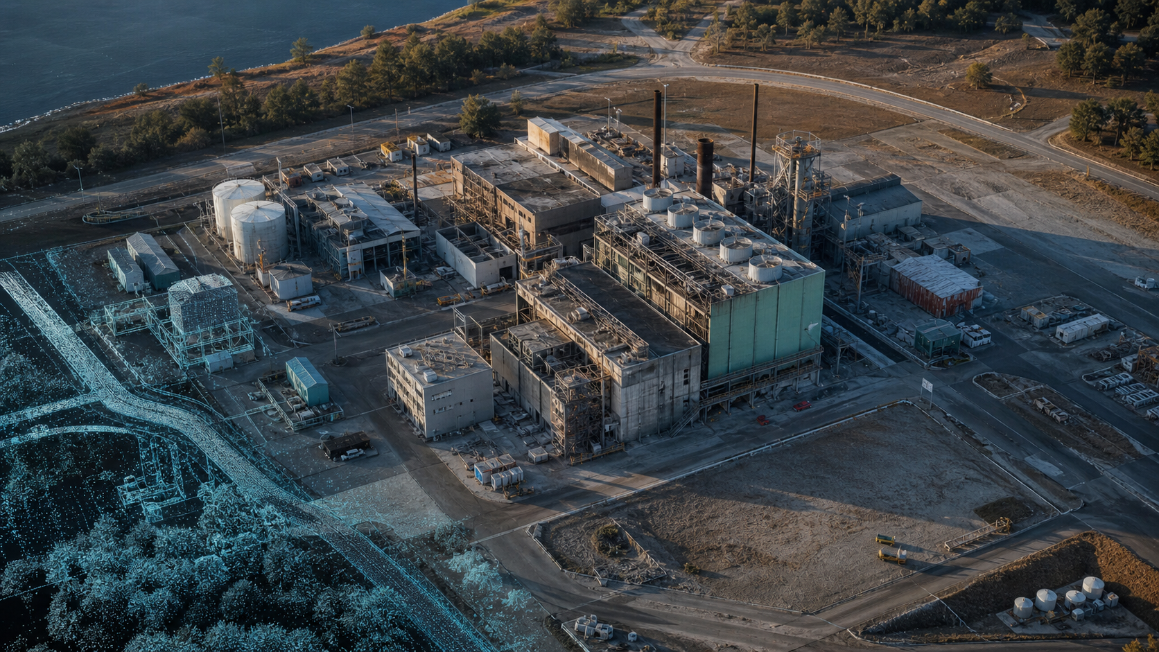
A spatial record becomes more valuable when it remains connected to dates, viewpoints, findings, and source evidence. We structure models and imagery to support orientation today, comparison tomorrow, and a durable chronology across maintenance, renovation, or ownership transitions.

  • Reality capture and spatial context
  • Dated evidence layers
  • Longitudinal asset record

Project-selected tooling

The workflow chooses the tool.

Depending on requirements, deliverable formats, accuracy expectations, client environment, and field constraints, a project may use one or more of the following tools. This is not a claim of universal integration, certification, partnership, or endorsement.

  • QGIS
  • MapsMadeEasy
  • Esri ArcGIS
  • Pix4D
  • DroneDeploy
  • Agisoft Metashape
  • WebODM / OpenDroneMap
  • SkyBrowse
  • DJI Terra
  • UgCS

The useful deliverable is a decision-ready record.

Plan the evidence. Analyze the condition. Chronicle the asset.

Scope, methods, outputs, and suitability are confirmed for each project. Review example reports or discuss a project.